
Los Angeles ZIP Codes by Postal Cluster
Los Angeles postal geography is easier to read in clusters than as a flat list. The table groups practical ranges from the research while keeping the city line and mailing label separate. Research does not provide a complete current official mapping of every ZIP to a post office, station, PO-box status, or unique-code status.
| ZIP | Areas Covered | Post Office | Notes |
|---|---|---|---|
| 90001-90007 | South LA, Florence, Southeast LA, University Park and USC | Verify exact address with USPS | 90001 is largely unincorporated Florence-Graham. |
| 90008, 90016, 90018, 90019 | Baldwin Hills, Crenshaw, West Adams and Mid-City | Verify exact address with USPS | Neighborhoods cross ZIP and council lines. |
| 90010-90017 | Wilshire, Koreatown, Downtown and Westlake | Verify exact address with USPS | Business and PO-box patterns make checks useful. |
| 90020-90029 | Koreatown, Silver Lake, Echo Park and Hollywood | Verify exact address with USPS | Postal boundaries interlock across neighborhoods. |
| 90031-90033, 90039, 90041-90042 | Lincoln Heights, Boyle Heights, Atwater, Eagle Rock and Highland Park | Verify exact address with USPS | Older street names and annexations complicate searches. |
| 90034-90038, 90046, 90048 | Westside, Mid-City and Hollywood | Verify exact address with USPS | City, county and West Hollywood edges meet. |
| 90043-90047, 90059, 90061-90062 | South Los Angeles and nearby county pockets | Verify exact address with USPS | Do not infer city department jurisdiction from ZIP alone. |
| 90049, 90064-90069, 90077 | Brentwood, West LA, Palms, Westchester, Bel Air and adjoining Westside | Verify exact address with USPS | Enclaves and irregular city limits are prominent. |
| 90272, 90291-90293 | Pacific Palisades and Venice | Verify exact address with USPS | A 902 ZIP can still fall inside Los Angeles. |
| 90710, 90731-90732, 90744 | Harbor City, San Pedro and Wilmington | Verify exact address with USPS | Harbor geography ties the cluster to Los Angeles. |
| 91040, 91042 | Sunland and Tujunga | Verify exact address with USPS | Foothill areas retain distinct historic context. |
| 91303-91307, 91311, 91316, 91324-91326, 91330-91331, 91335, 91340, 91342-91345, 91352, 91356, 91364, 91367 | San Fernando Valley neighborhoods | Verify exact address with USPS | Nearby independent cities and county territory use related codes. |
| 91401-91406, 91411, 91423, 91436 | Van Nuys, Sherman Oaks, Encino and central Valley | Verify exact address with USPS | Preferred postal names do not define jurisdiction. |
| 91601-91608 | North Hollywood, Studio City, Toluca Lake and Universal City vicinity | Verify exact address with USPS | Universal and independent-city edges require a parcel check. |
The official Los Angeles ZIP layer is a Census ZCTA intersection layer, and 158 ZCTAs touch the Los Angeles boundary. That does not mean 158 ZIP codes belong wholly to the city or have a Los Angeles post office. Check each production address with USPS, then place it in the correct municipality.
Note: The cluster table is a research aid, not a complete current post-office map; verify each exact address before relying on its ZIP.
158 ZCTAs, Not 158 Los Angeles ZIPs
A ZIP code is assigned for mail delivery. A ZCTA is a Census approximation for statistical geography. The Los Angeles city layer records ZCTAs touching the boundary, including codes associated with Beverly Hills, Santa Monica, Burbank, Glendale, Inglewood, or another nearby community. An intersection is not a claim that the entire postal area is inside Los Angeles.
The distinction matters when a Los Angeles mailing city sits in Florence-Graham or another unincorporated pocket. In reverse, a city address may use a ZIP whose preferred postal name points elsewhere. The Los Angeles GeoHub ZIP boundary layer maps the overlap, but it is not a USPS station directory or resident list.
Los Angeles 900 ZIP Codes in Core and South
The 900 series carries much of Los Angeles's central, west, east, and south geography, but each group still needs an address check. These patterns choose the next record tool, not who lives in a place.
- 90001-90007 reach South LA, Florence, Southeast LA, University Park and USC-adjacent areas.
- 90010-90017 run through Wilshire, Koreatown, Downtown and Westlake.
- 90020-90029 cover dense Koreatown, Silver Lake, Echo Park and Hollywood corridors.
- 90031-90033, 90039 and 90041-90042 connect Northeast and Eastside neighborhoods.
- 90049, 90064-90069 and 90077 show how Westside and enclave edges can sit within one search region.
South-facing clusters such as 90043-90047, 90059, and 90061-90062 include adjacent county pockets. Census QuickFacts puts 2020-24 owner occupancy at 36.0%, so an assessor owner is not a full resident picture. A ZIP filter narrows a map or address batch, but cannot prove occupancy.
Los Angeles Harbor ZIP Codes: 907 Geography
The Harbor cluster has its own shape. ZIP 90710 is associated with Harbor City, 90731 and 90732 serve San Pedro, and 90744 reaches Wilmington. These codes connect the harbor strip to Los Angeles, yet postal grouping does not erase parcel or historic jurisdiction lines.
For a Harbor address, begin with the USPS result, then use the county Assessor or Los Angeles parcel tool to identify the record keeper. Jumping from 907 to a citywide resident conclusion skips that step.
Los Angeles Valley ZIP Codes: 913, 914, 916
The Valley cluster spans 91303-91307, 91311, 91316, 91324-91326, 91330-91331, 91335, 91340, 91342-91345, 91352, 91356, 91364 and 91367. ZIP 914 includes Van Nuys, Sherman Oaks and Encino; 916 includes North Hollywood, Studio City, Toluca Lake and the Universal City vicinity.
Nearby independent cities and unincorporated county areas use related Valley codes. Tujunga’s consolidation in 1932 is one reason older descriptions may not match a current neighborhood label. Use Los Angeles parcel and planning layers for the municipal answer.
1912 Los Angeles Address Changes and ZIP Continuity
ZIP research can fail before a ZIP is ever entered. An official cultural-heritage report documents a 1912 change to 1542 McCadden Place during a wholesale effort to match and renumber street names. Older directories, maps, and deed descriptions may therefore use a form that does not match a current USPS result.
Former municipalities add more breaks in the trail. Hollywood consolidated in 1910, Sawtelle in 1918, Eagle Rock and Hyde Park in 1923, Venice in 1925, Watts in 1926, and Tujunga in 1932. For older property or resident research, keep the legal description and Assessor Identification Number beside the ZIP. A ZIP is a current delivery clue; an AIN, tract, block, lot, or parcel description can preserve continuity when the street vocabulary changes.
Finding Los Angeles Residents by ZIP Code
A ZIP-keyed search works best as a sequence of checks. The public tools do not expose one complete Los Angeles resident roll by ZIP. Start with delivery geography, move to parcels, and use person-level records only where the custodian permits the search.
- Enter the full street address or city and state in the USPS ZIP Code Lookup. Record the returned ZIP and preferred postal city.
- Test the address in the Los Angeles County Assessor Portal. Use Basic Search, Legal Search, or Map Search to capture the AIN and legal description.
- Check city jurisdiction in ZIMAS. For unincorporated county territory, use GIS-NET Public and its parcel layers.
- Use the county voter form only for a matching self-check, or request an eligible election file with the required purpose certification. A ZIP alone cannot browse registrants.
- Once the ZIP and parcel are settled, follow the address record chain in the Los Angeles by-street directory when the question shifts from postal geography to a named street.
What Los Angeles ZIP Portals Can Actually Do
Each local portal answers a narrower question than a ZIP code directory suggests. The Los Angeles County Assessor Portal shows Basic, Legal, and Map Search with a visible “Search by AIN or Address” field. It is address and parcel oriented, does not offer a public owner-name directory, and keeps owner and mailing address data off the public website. Assessor help points researchers to district offices or Property Data Sales for owner information.
ZIMAS accepts property address, street intersection, APN, case number, community plan area, council district, Certified Neighborhood Council, PIN, legal description, and mapsheet. It returns planning and parcel context, not a current household roll; Assessor data there are informational. GIS-NET adds address, AIN, intersection, layer, buffer, identify, measure, report, print, and export tools, but chiefly serves unincorporated county territory.
The Los Angeles County voter verification form uses four required matching fields. Its exact field set is more useful than a vague “search by ZIP” claim:
| Field Label | Type | Required | Format Notes |
|---|---|---|---|
| Last Name | Text | Yes | Alphabet only |
| Birthdate | Date or text | Yes | mm/dd/yyyy |
| House Number | Numeric text | Yes | Numbers only |
| Zip Code | Numeric text | Yes | Five digits |
The Los Angeles County voter verification service is a free self-lookup, not a public by-street or by-ZIP browse. Full-file access is restricted by Elections Code sections 2188 and 2194 and Government Code section 7924.000. The county lists $146 for a countywide file, $54 for a precinct, district, or city file, and $39 for an additional file, with mail or in-person ordering at Norwalk and a signed permissible-use certification.
Los Angeles ZIP, ZCTA, and City Limits
These terms look interchangeable in a search box. They are not. Keeping them distinct prevents a postal label from being mistaken for a legal boundary or a person record.
- ZIP code
- A five-digit USPS delivery code. It organizes mail and can cross city lines.
- ZCTA
- A Census statistical approximation of ZIP geography. The city layer reports ZCTAs that intersect Los Angeles, not a full USPS station list.
- ZIP+4
- A nine-digit delivery extension that narrows routing beyond the five-digit ZIP. It does not prove ownership or occupancy.
- PO-box ZIP
- A code used for post-office boxes. A PO box has no situs parcel, so it cannot supply a street location by itself.
- Unique ZIP
- A code associated with one institution or organization rather than a normal residential area. It should not be treated as a neighborhood count.
- Carrier route
- A postal delivery path used to organize service. It is a routing concept, not a public resident list.
Verify Los Angeles ZIP Codes, Then ZIMAS
Two official views make the boundary problem visible. The ZIMAS parcel and planning viewer shows how a city address sits within parcel, council, planning, and neighborhood geography.
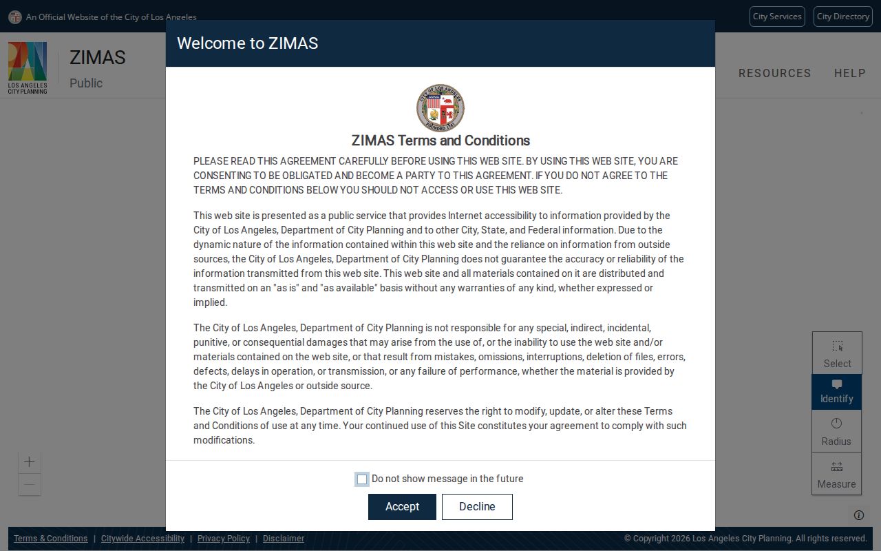
The ZIMAS view is a Los Angeles jurisdiction check, not a resident directory. It helps confirm whether the address belongs to the City of Los Angeles before a city record request is sent.
For the delivery side, use the official USPS ZIP Code Lookup with the exact address or city and state.
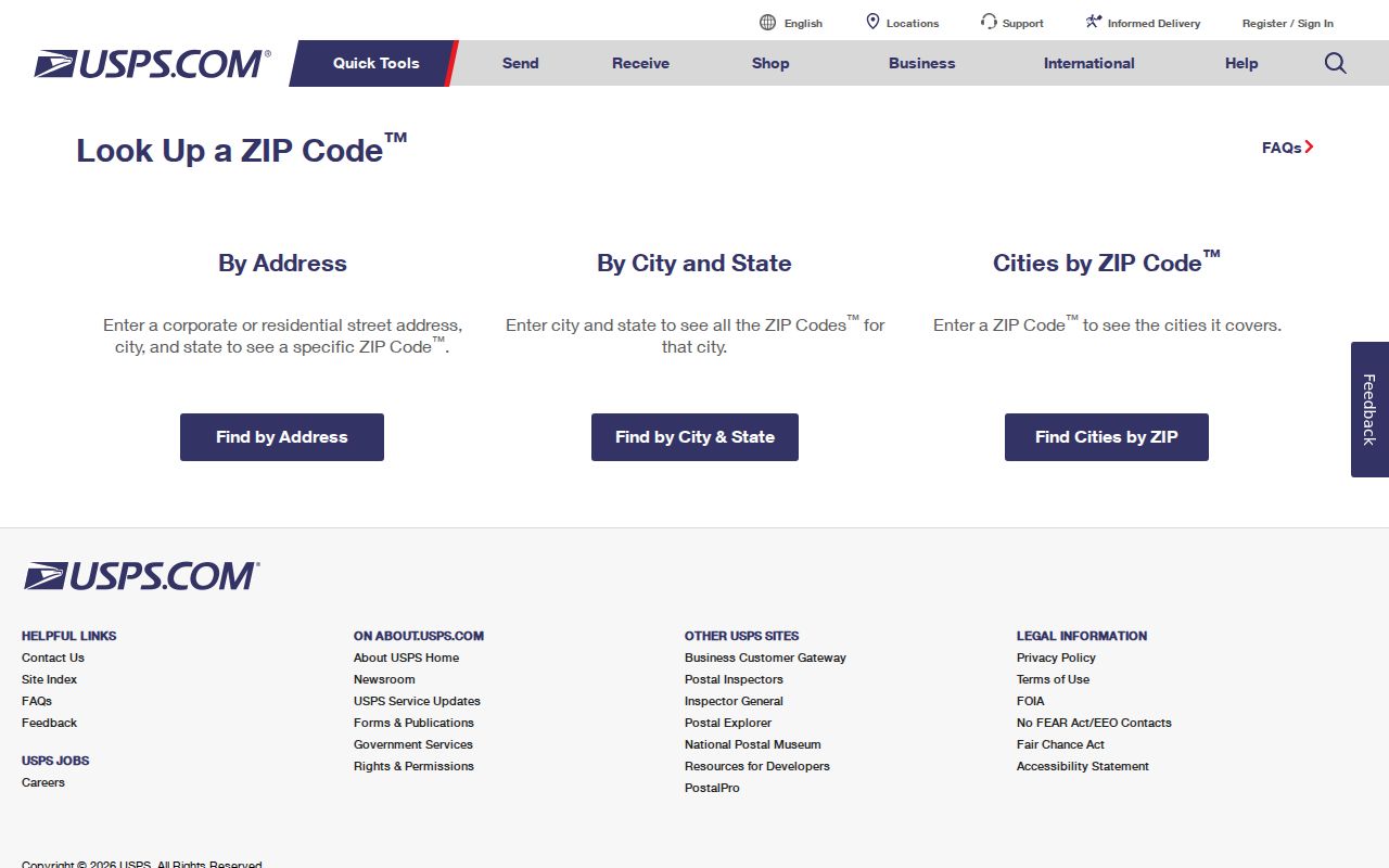
The USPS result supplies the postal answer. It does not settle the Los Angeles city boundary, parcel owner, occupancy, or voter eligibility question.
A compact validation record keeps those answers from being mixed:
| Check | Tool | Confirms | Does Not Confirm |
|---|---|---|---|
| Postal delivery | USPS lookup | Exact delivery ZIP and preferred postal city | City limits or residence |
| Parcel identity | County Assessor | AIN, situs, legal description, values and improvements | Public owner name online or occupancy |
| Municipal geography | ZIMAS | City parcel, planning, council and neighborhood context | Current resident roster |
| Voter match | County verification or eligible file order | Required identity and address match within the permitted route | Open ZIP-wide resident browsing |
The result is a sounder Los Angeles ZIP code directory workflow: postal code first, parcel and municipality second, and a custodian-specific record search last. A ZIP narrows the map. It never replaces the record holder, legal description, or privacy rule that governs the next step.