
Los Angeles Neighbor Sources in One View
A block lookup works best when each source has one clear job. ZIMAS supplies city parcel and planning context. The Assessor supplies county parcel facts. LADBS can show permit and inspection activity. Historic reverse directories can place listed people or businesses along a street for a particular year. Neighborhood Council pages identify certified civic boundaries and board contacts. Voter files are controlled records, not a public list of neighbors.
| Source | What It Shows About a Block | Access |
|---|---|---|
| ZIMAS | City parcels, zoning, cases, districts, overlays, and adjacent geometry | Free city viewer |
| Assessor Portal | AIN, situs, legal description, values, improvements, and year built | Free web; owner channel offline |
| GIS-NET Public | Unincorporated parcels, layers, identify, buffer, measure, and export | Free county viewer |
| LADBS | Permits, inspections, project parties, and work chronology | Online; request missing scans |
| Neighborhood Council | Certified council boundary, board names, meetings, and civic contact | Free official directory |
| Voter file | Registration fields for a permitted purpose | Controlled and paid |
None of these rows is a complete neighbors directory. A parcel may have several units. An owner may receive mail elsewhere. A permit applicant may be a contractor. A council board is not a membership roster. Label the source and date before drawing a conclusion about the people around a Los Angeles address.
Click Adjacent Parcels in Los Angeles ZIMAS
The Los Angeles Zoning Information and Map Access System is the city-side starting point for a block. Search by property address, street intersection, APN, case number, community plan area, council district, Certified Neighborhood Council, PIN, legal description, or MapSheet. Once the target parcel is highlighted, zoom and pan to the polygons around it. Click each adjacent parcel and record its AIN, address, planning context, and links.
ZIMAS can return zoning and land-use information, overlays, planning cases, entitlements, council and Neighborhood Council geography, parcel flags, and links to permit or code information. Its permit links reach roughly the mid-1990s, so older work belongs with LADBS or a records request. ZIMAS is a planning and parcel tool. It has no public owner-name field and does not establish who sleeps in a house.
- Search the known address or intersection, then save the target parcel’s AIN and legal description.
- Zoom to the lot edges and click each adjoining polygon rather than guessing from a street label.
- Compare the adjacent parcels’ zoning, cases, district, and permit links with the Assessor facts.
- Use a dated reverse directory or public civic contact only for the separate question of listed people or board service.
Note: The city map can show that parcels touch; it cannot turn a parcel boundary into a resident list.
GIS-NET Buffer Tools Belong to County Ground
Los Angeles County Planning’s GIS-NET Public serves unincorporated territory and adds tools that city addresses should not be promised. Its documented functions include AIN, address, intersection, and community searches, layer toggles, identify and query, buffer, parcel and tract selection, drawing, measure, report, print, and export. A buffer can help frame nearby parcels in county territory, but it does not supply occupants.
City and county jurisdiction can meet within a postal label. Use ZIMAS for a City of Los Angeles parcel and GIS-NET for unincorporated county ground. The county Assessor map remains the countywide parcel anchor. A ZIP or neighborhood name is not enough to pick the viewer. The parcel’s legal description, AIN, and municipal boundary do that work.
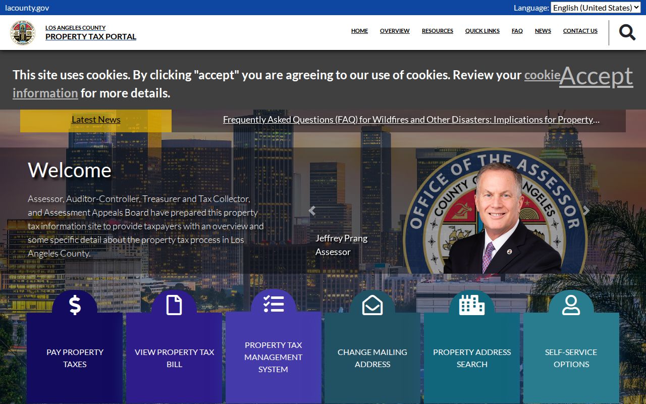
The Los Angeles County property-tax portal adds county parcel and tax context alongside GIS-NET's geographic tools.
Mapping a Los Angeles Block: Parcels and Owners
A Los Angeles block study should distinguish physical parcel, owner, mailing address, and occupancy. The Assessor public card can show AIN, situs, use, land and building facts, values, year built, parcel status, and legal description. It does not show owner name or owner mailing address online. The documented route is an Assessor office or Property Data Sales channel, with helpdesk@assessor.lacounty.gov available for an AIN and address question.
- AIN
- Assessor Identification Number, the parcel key used to connect map and roll detail.
- Situs address
- The physical location assigned to the parcel, not the place where an owner receives mail.
- Adjacent parcel
- A mapped lot that touches or borders the target geometry; it is not proof of a shared household.
- Owner of record
- The party shown through the proper Assessor or deed channel, not an assumed occupant.
For an owner trail, take the AIN and legal description to the RR/CC grantor and grantee index. For current work, LADBS adds permit number, type, status, parties, and inspection events. For the whole named street rather than the immediate block, use the Los Angeles by street walkthrough and its address-record chain.
Read a Historic Los Angeles Block in Reverse Order
Historical neighbors appear most clearly when an address is read in street-number order. LAPL and Tessa hold reverse or criss-cross materials, with notable runs for 1906, 1927, and 1956–1987. A reverse entry can name a listed resident or business at a numbered address. It may use `h` for householder or `r` for resides, and OCR can split or change street names. Open nearby page images and test “Ave 64,” “Avenue Sixty-Four,” “Bway,” and “Broadway” variants.
A listing is a time-stamped clue, not proof that every person in a unit lived there. Compare it with the 1900–1968 California voter registration collection at LAPL, public census records through 1950, newspapers, deeds, and permits. The historical trail can show a changing block even when today’s public tools show only parcel lines.
Current Voter Data Is Not a Los Angeles Block List
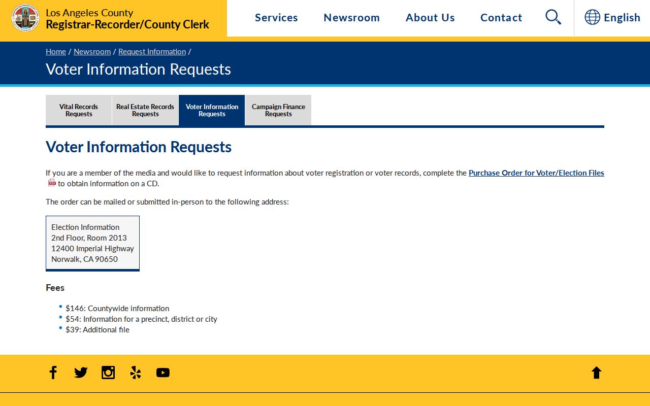
The county voter verification form requires a person’s last name, full birthdate, residence house number, and ZIP. It confirms that person’s own registration and cannot browse everyone registered on a block. Full voter files are available only for permitted political, election, scholarly, journalistic, or governmental purposes. County orders cost $146 countywide, $54 for a precinct, district, or city file, and $39 for an additional file, with a signed certification.
Government Code §7924.000 and Elections Code §§2188 and 2194 protect home address, phone, email, precinct, prior registration, identifiers, and signature outside controlled access. The file never supplies ballot choices. A status change can move a record between active, inactive, or cancelled categories and is not proof of death, misconduct, or a current household change.
Reality check. A lawful Los Angeles neighbors search cannot turn a voter file into a public block browse. Use the self-check only for the person who is verifying their own record.
The county voter-information request page explains controlled file orders and permitted use.
Find the Certified Los Angeles Neighborhood Council
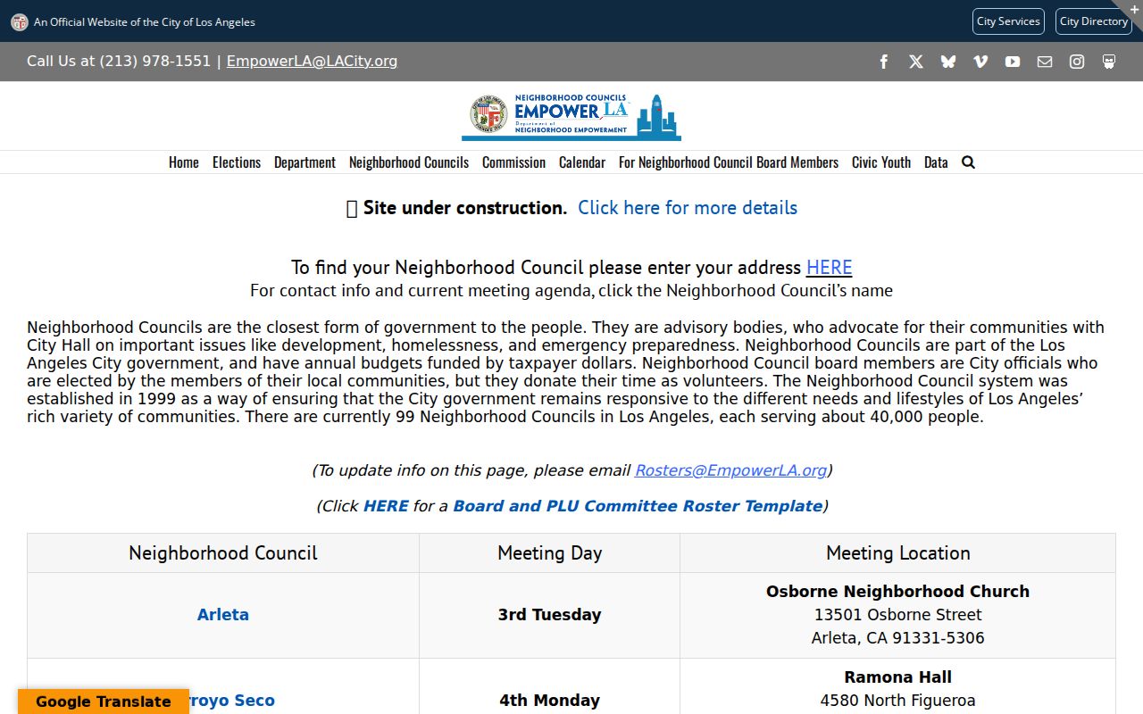
Los Angeles created the Neighborhood Council system in 1999. The city has 99 advisory councils, each serving roughly 40,000 people. The address map at the Department of Neighborhood Empowerment returns the certified Neighborhood Council and City Council district for an address. The council directory can show board and contact names, mailing address, meetings, website, and boundaries.
| Address map | Use an address to identify the certified Neighborhood Council and City Council district. |
|---|---|
| Board directory | Review public board contacts, meeting details, website, mailing address, and boundary information. |
| What it is not | A board page is not a private member, household, HOA, congregation, or block-watch roster. |
| Private groups | No authoritative open citywide HOA, congregation, block-watch, or civic-club roster was located. |
Use the official Neighborhood Council directory for civic contact rather than assuming a nearby board speaks for every neighbor. Association membership status is organization-specific and should not be inferred from a parcel, ZIP, permit, or surname.
The EmpowerLA Neighborhood Council directory is the official civic source for council contacts and boundaries.
Permits Explain Change on a Los Angeles Block
LADBS Online Services can connect an address or Assessor Parcel Number with permits, inspections, scanned building documents, work descriptions, applicants, owners, contractors, and dates when those records are available. A missing PDF leads to the Records Research Request form, the Metro office at 201 N. Figueroa Street, or Van Nuys at 6262 Van Nuys Boulevard. The custodian number is 213-482-6770. Planning Case Information adds address, case number, and related criteria.
Permits are useful for a block because they date additions, remodels, inspections, and changes in use. They do not prove that an applicant or contractor lived at the property. A planning case is land-use evidence. A tax record shows payment context. A Neighborhood Council board is civic context. Keep those roles distinct when assembling a Los Angeles neighbors record.
Privacy Limits on Los Angeles Neighbors
Public parcel lines do not make household details public. Household members, children, family members, utility customers, delivery records, DMV addresses, and unlisted occupants are not supplied by the sources above. Safe at Home participants may use a substitute address, and Government Code §§6205–6211 plus §6208.1 protect qualifying people from harmful display. A missing result may be a safety measure rather than a gap to defeat.
| Official parcel trail | Generic commercial neighbor tool |
|---|---|
| Names the custodian, date, record role, and access rule | May merge stale public and marketing data without clear provenance |
| Separates parcel, owner, permit party, board contact, and resident | May imply a household connection that the source never shows |
| Offers correction or request paths through the source office | Requires a direct privacy or correction process and may not change the source record |
Lawful personal use. Use Los Angeles neighbors records for civic awareness, family history, house history, reconnecting, and personal safety. Never use a name, address, map, or image to stalk, harass, intimidate, or harm anyone.